Esri
Esri, the global market leader in geographic information system software, location intelligence, and mapping, offers the most powerful Geospatial Cloud available. Since 1969, Esri has helped customers unlock the full potential of data to improve operational and business results. Today, Esri software is deployed in more than 350,000 organizations including the world’s largest cities, most national governments, 75 percent of Fortune 500 companies, and more than 7,000 colleges and universities. With its pioneering commitment to geospatial information technology, Esri engineers the most advanced solutions for digital transformation, the Internet of Things (IoT), and advanced analytics
Why
As the global leader in location intelligence and trusted provider of spatial analytics and mapping technologies for the Port of Rotterdam, Esri was invited to join the Container 42 initiative.
How
As Container 42 travels the world demonstrating and growing its autonomous, self-aware capabilities as well as acting as an active shipboard contributor of information and energy, Esri technology will locate, track, map, and provide contextual geographic information to all project stakeholders.
What
Esri brings real-time data integration and spatial analytics with map visualization, agile developer tools for web and mobile application development, along with a global library of geographic, demographic, and business data supported by the full powers of Esri’s geospatial capabilities to support Container 42 as it travels around the world pioneering autonomous shipping.
“With The Science of Where and using GIS, people unlock the full potential of data for every situation.”

Articles by Esri
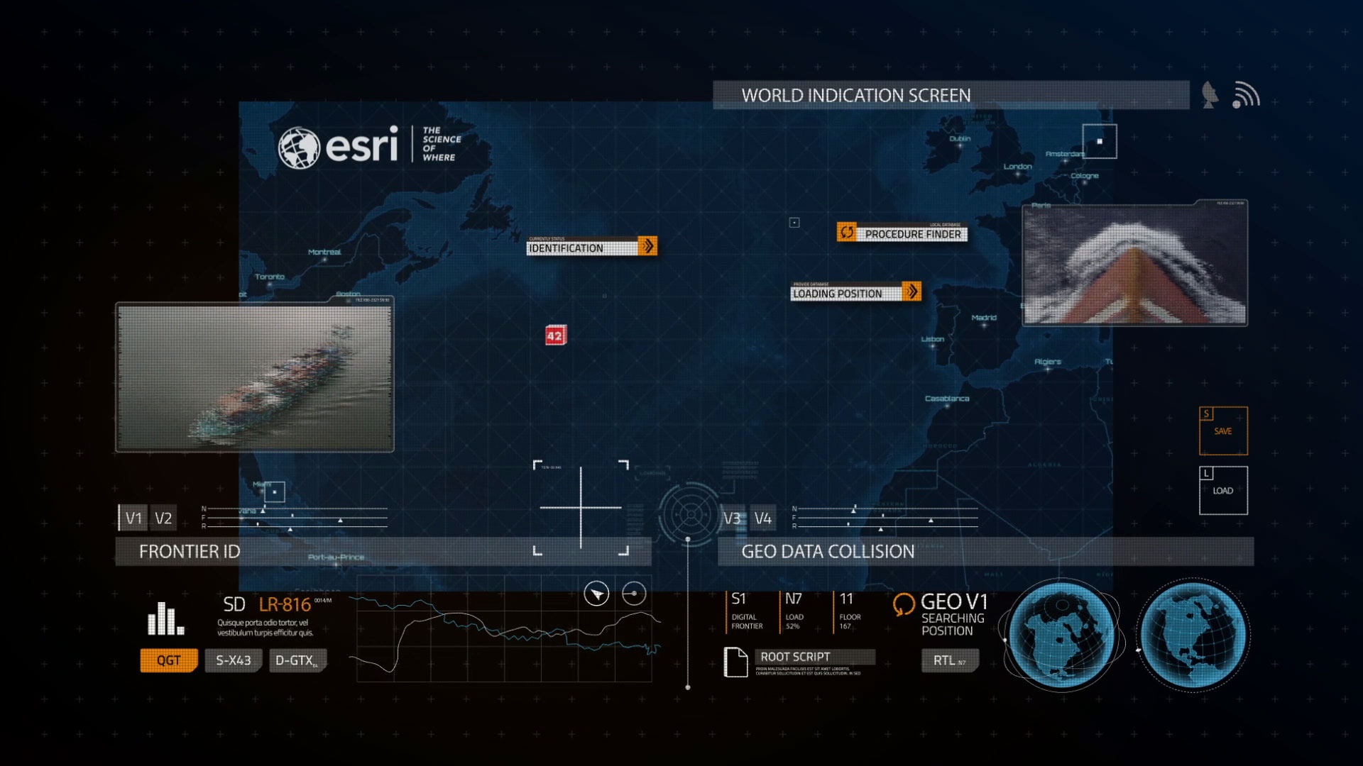
Real-time container tracking and spatial analytics powered by Location Intelligence
Posted by Esri
Various industries have been dramatically changed by a “digital transformation” movement or implementation of the Internet of Things (IoT) throughout…